This is a handy little tool that I use in the field and want to capture photos to add to a property map. There are several ways to do this, but since most foresters are familiar with ArcGIS, I will describe how this works with an iPhone and ArcGIS Online.
Several reasons I’ve used this include, inspecting logging jobs, timber cruising, documenting wildlife sightings, capturing unique areas or items, and locating property corners. The only tools you need are a smartphone and a subscription to ArcGIS Online.
The main thing to remember is that the images need to have location data stored in the EXIF data for the photo (GPS latitude/longitude). If you would like to view raw EXIF data for your captured photos, you can download a tool like exiftools for Mac or Windows.
In the Field
- Make sure you have location services enabled for the camera – Settings -> Privacy & Security -> Location Services, and select While Using the App.
- Take your photo(s)
In the Office
It only takes about 10 minutes or so to complete this part after working through the process a few times.
- Export the photos from the Photos app on your phone. You can do this by texting, emailing, etc., but if you have a Mac computer synchronized with iCloud, you can do this step from the computer. Make sure the photos are saved in a common image format like JPEG or PNG, since iOS stores these as HEIC (high efficiency image container) by default.
- Zip the photos into a single archive..
- In ArcGIS Online under the Content Tab click New Item.
- Drag and drop the Zip file you created in step 2 to the New Item dialog box.
- Change the File Type dropdown to Photos with Locations and add it as a Hosted Feature Layer.
- Name the new feature layer and add optional tags.
- Once the feature layer is created, choose Open in Map Viewer Classic.
The photo(s) are stored as a hosted Point Feature Layer. When shown in the map viewer, clicking on a point will reveal a link to view the photo.
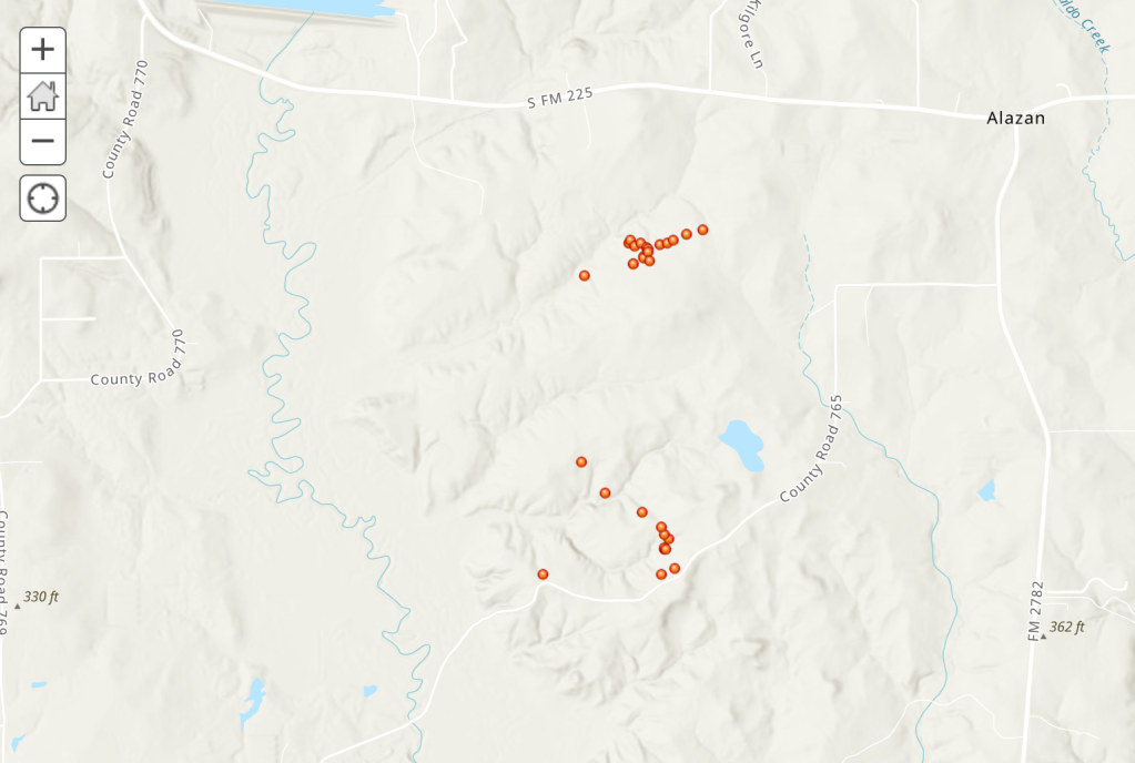
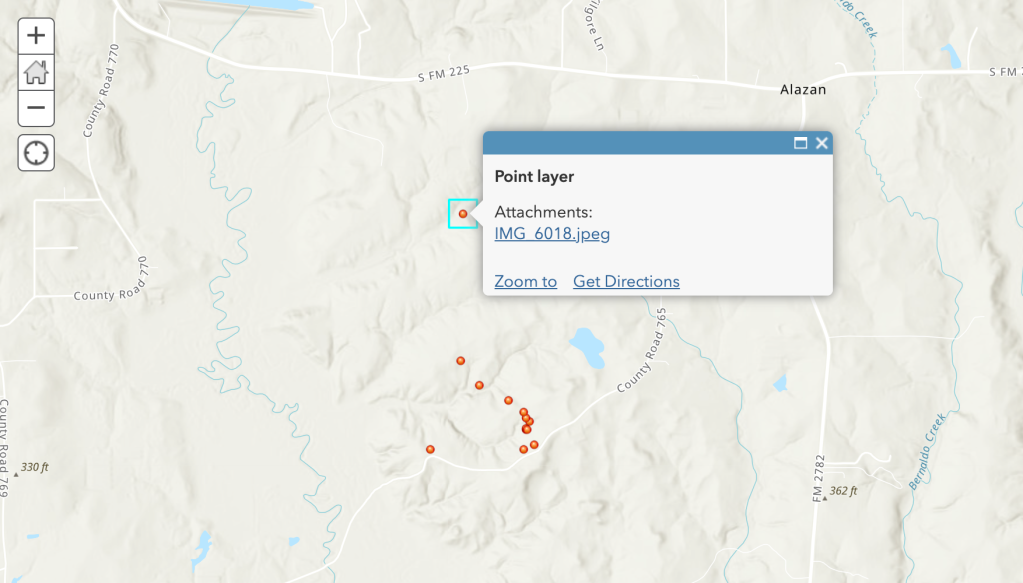
Add the new feature layer to an existing map with property boundaries, internal roads, timber stands, and other useful layers to make it come to life. Adding geotagged photos to maps provides another method for collecting digital information in the field.
The above workflow was modified from Add Geotagged Photos to ArcGIS Online Web Maps by Bern Szukalski
Categories: Forestry Apps Geospatial